A list of websites, publications, apps, and more using Toronto Open Data.
By Asha Asvathaman
Featured Project
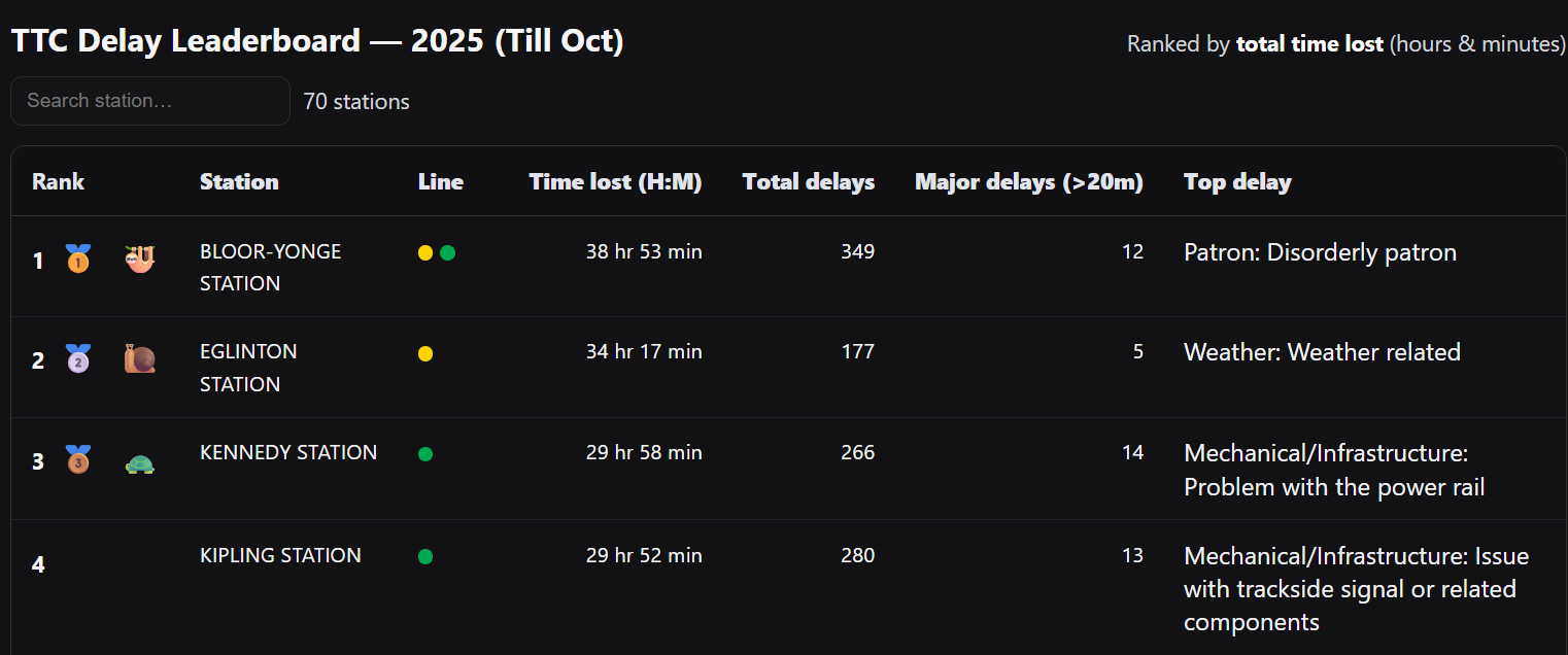
Explore how data can make Toronto’s subway delays transparent, visual, and actionable.
By Yitzchok Gray
View live schedules for Toronto's indoor and outdoor rinks - all in one place.
By Yi-An Chen
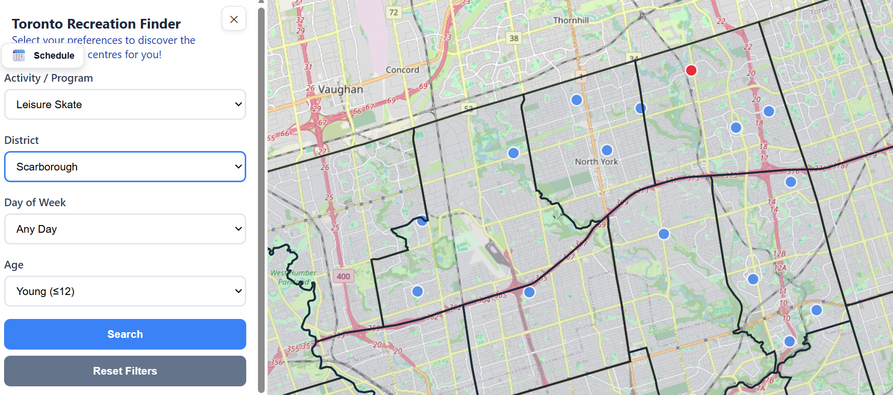
The Toronto Recreation Finder is a map-based interface, allowing users to easily discover recreational activities that match their schedule and location.
By OJ Onyeagwu
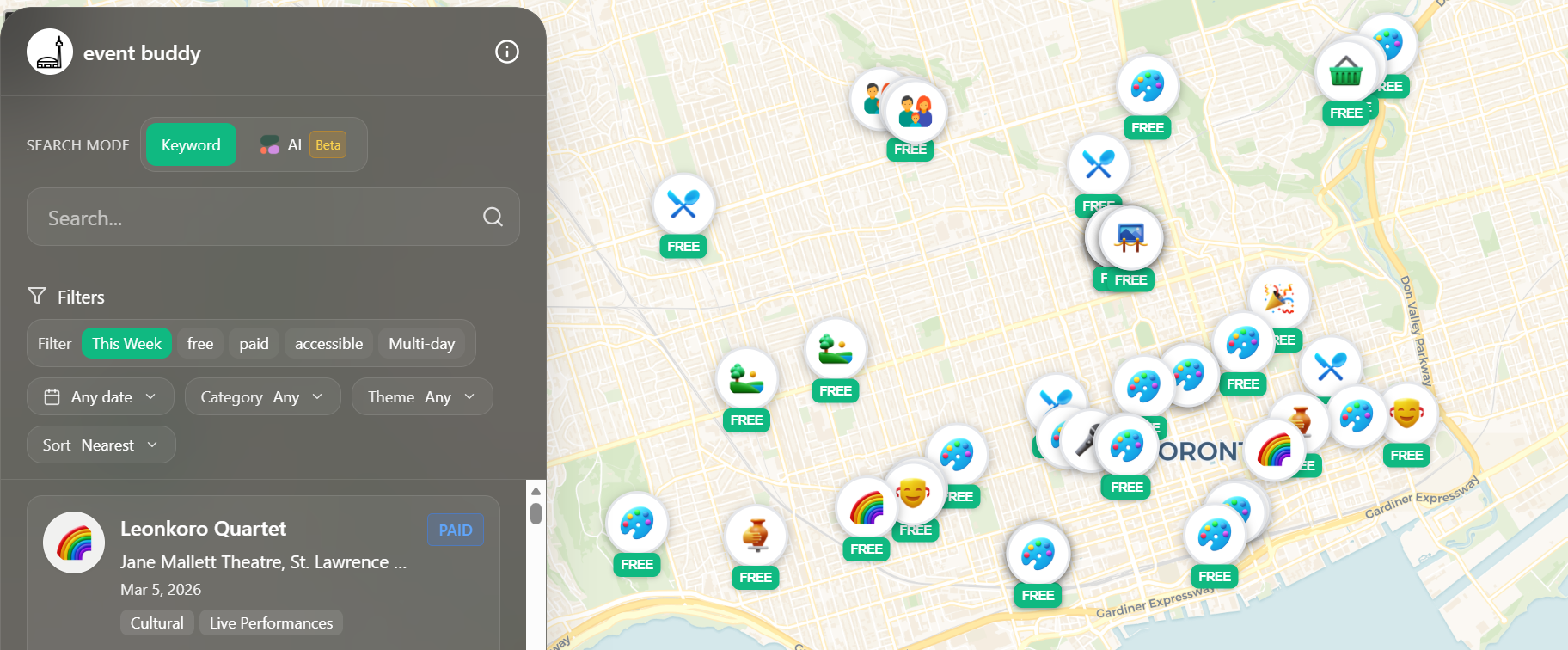
This project transforms Toronto’s open event data into a clean, mobile‑first map that helps people quickly discover relevant events happening now or soon. If you're new to Toronto or on a tight budget, check this thorough app out!
By Amrit Sharma
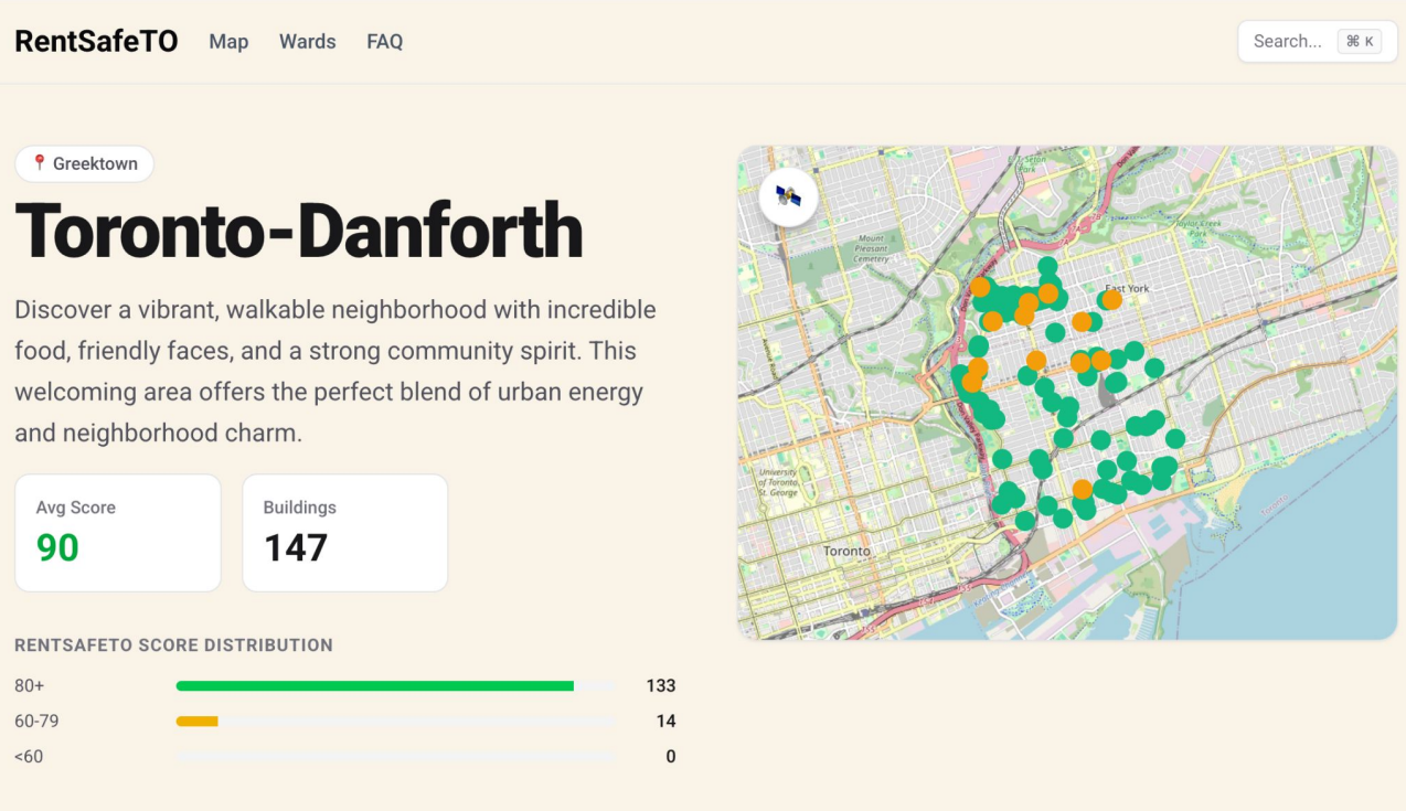
RentSafeTO.com turns the City’s RentSafeTO building evaluation data into a fast, mobile-friendly map so renters can browse, search, and compare apartment buildings by neighbourhood - before booking viewings or signing a lease.
By Ezekiel Kennedy Bissah
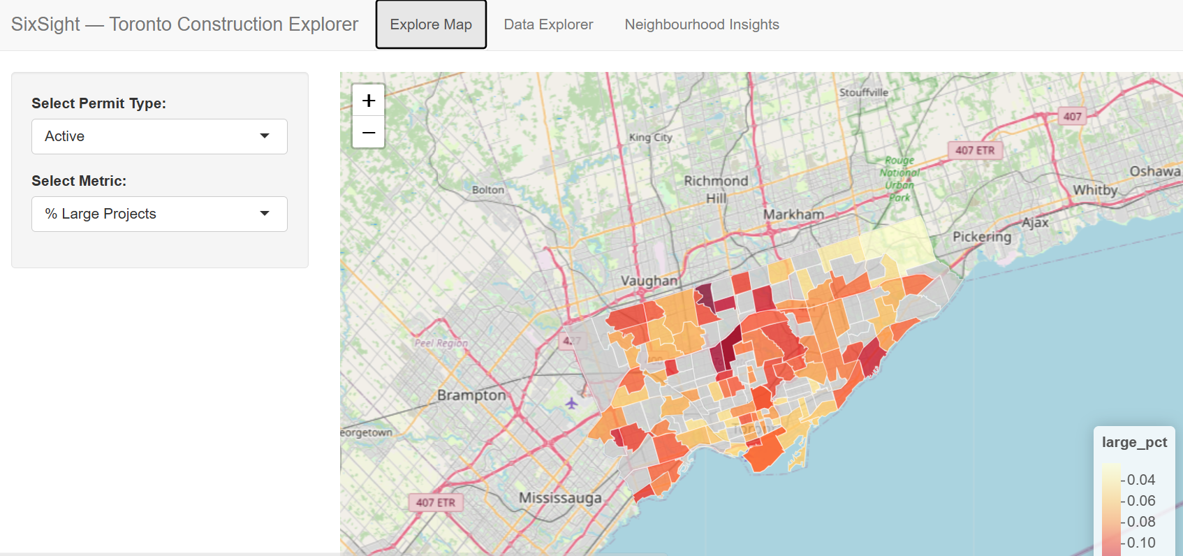
SixSight Toronto Construction Explorer unifies building permits and socio‑economic data into an interactive tool that helps users visualize development patterns and explore how construction intersects with neighbourhood inequality and housing trends.
By Ontario Community Health Profiles Partnership (OCHPP)
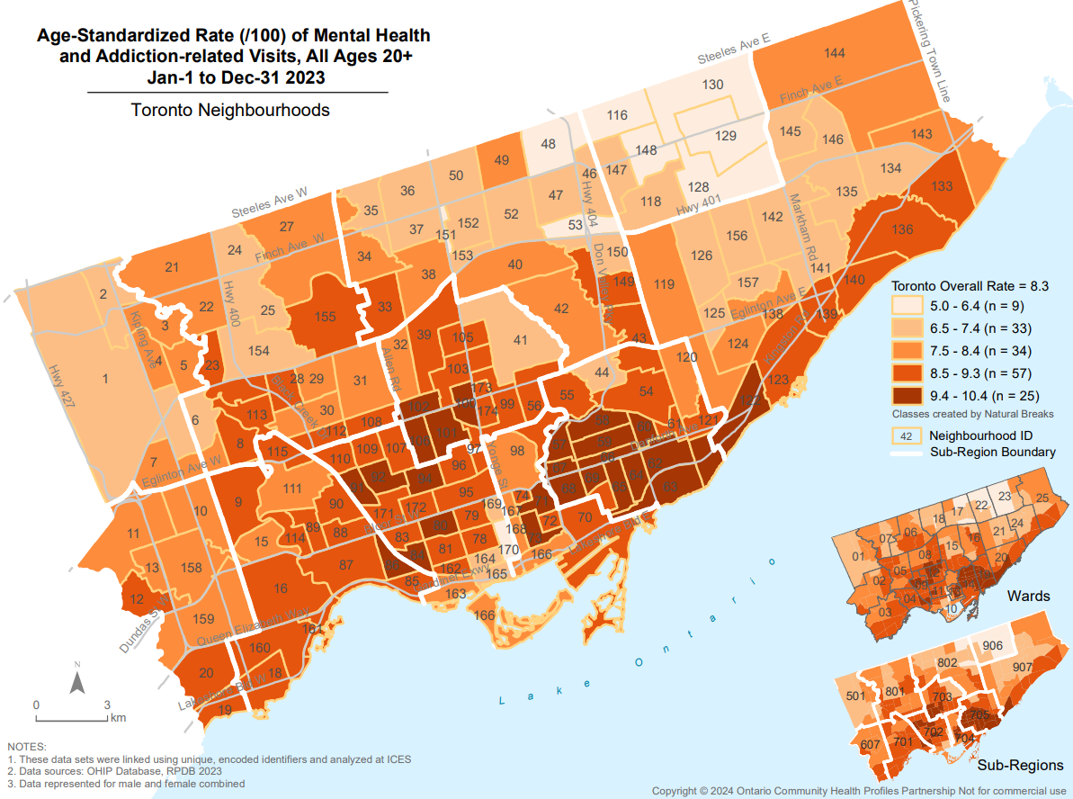
OCHPP makes high-quality, area-specific, health-related data and maps available for free to everyone. Local level maps shine light on health equity concerns masked at larger areas allowing policy makers to identify + address gaps in access to care.
By Emmett Young & Juliette Adams Fong
This project critically examines the 15‑minute city through the lens of healthcare access, assessing how spatial accessibility to essential services shapes wellbeing, equity, and future urban planning decisions.
By Smaranjeet Singh
This project turns TTC delay open data into an interactive dashboard that reveals where, when, and why transit delays happen, helping riders plan trips and enabling evidence‑based transit accountability.
By Mia Wang & Jeff Allen - School of Cities, University of Toronto
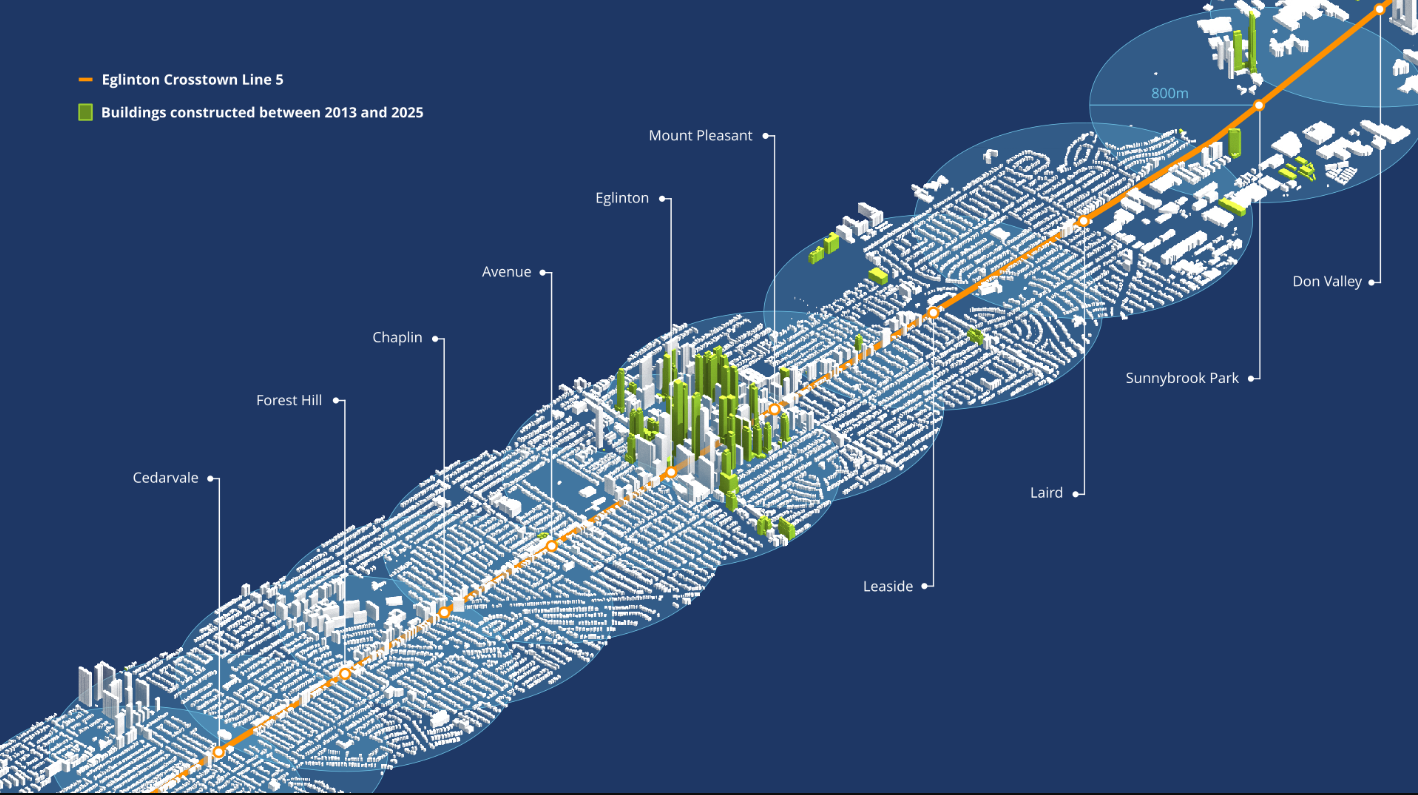
Analysis and visualization of building massing data 2013 to 2025 along the Line 5 Eglinton corridor
By Rahul Lal
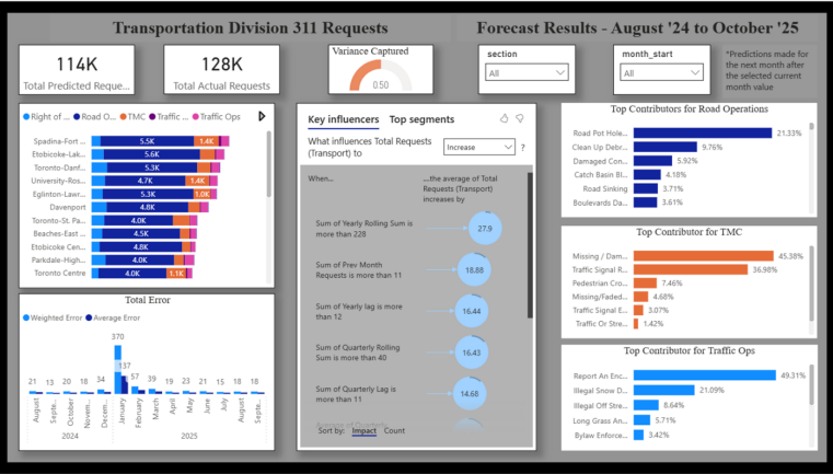
This project creates an early-warning and planning system that improves Toronto’s service responsiveness, strengthens resource efficiency, and enhances long-term infrastructure and maintenance planning.
By Khan Azad
Live location based city-run drop-in fitness class finder.