A list of websites, publications, apps, and more using Toronto Open Data.
By Elizabeth Sebastian
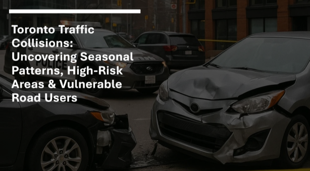
This publication converts 137,000+ collision records into an interactive dashboard, the project helps identify high-risk time periods, locations, and vulnerable road users.
By Connor Crowe
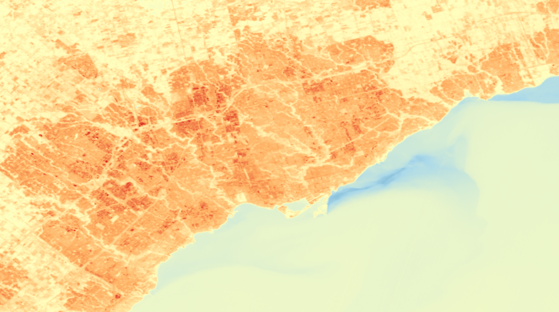
Urban Heat Islands (UHIs) can cause your local temperature to be much higher than reported - where is this effect worst in Toronto, and who does it affect the most?
By Tom Wolfer
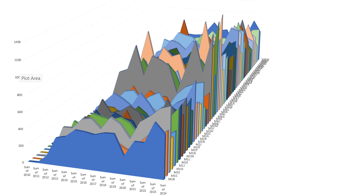
What areas (defined by FSAs) for Toronto have experienced a dramatically increase level of demand on which City of Toronto services (defined by City of Toronto divisions as per 311 Toronto Customer Initiated Service Request Data from m2010-2024 inclusive.
By Rajesh Dulal
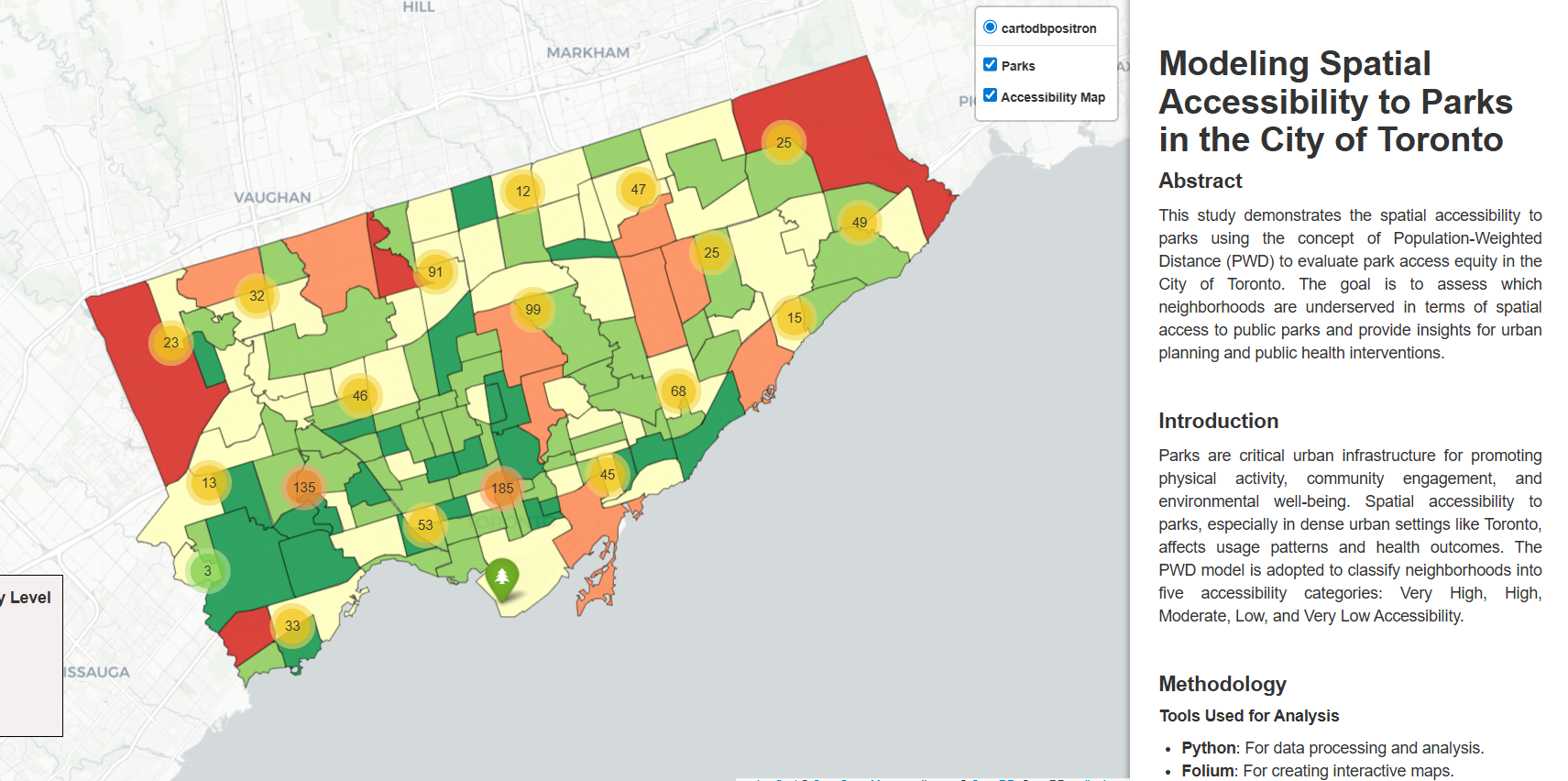
This project uses a population-weighted distance model to move beyond simple park counts, providing a more accurate map of how accessible green spaces truly are to Toronto residents at the neighborhood level.
By Oben Hum
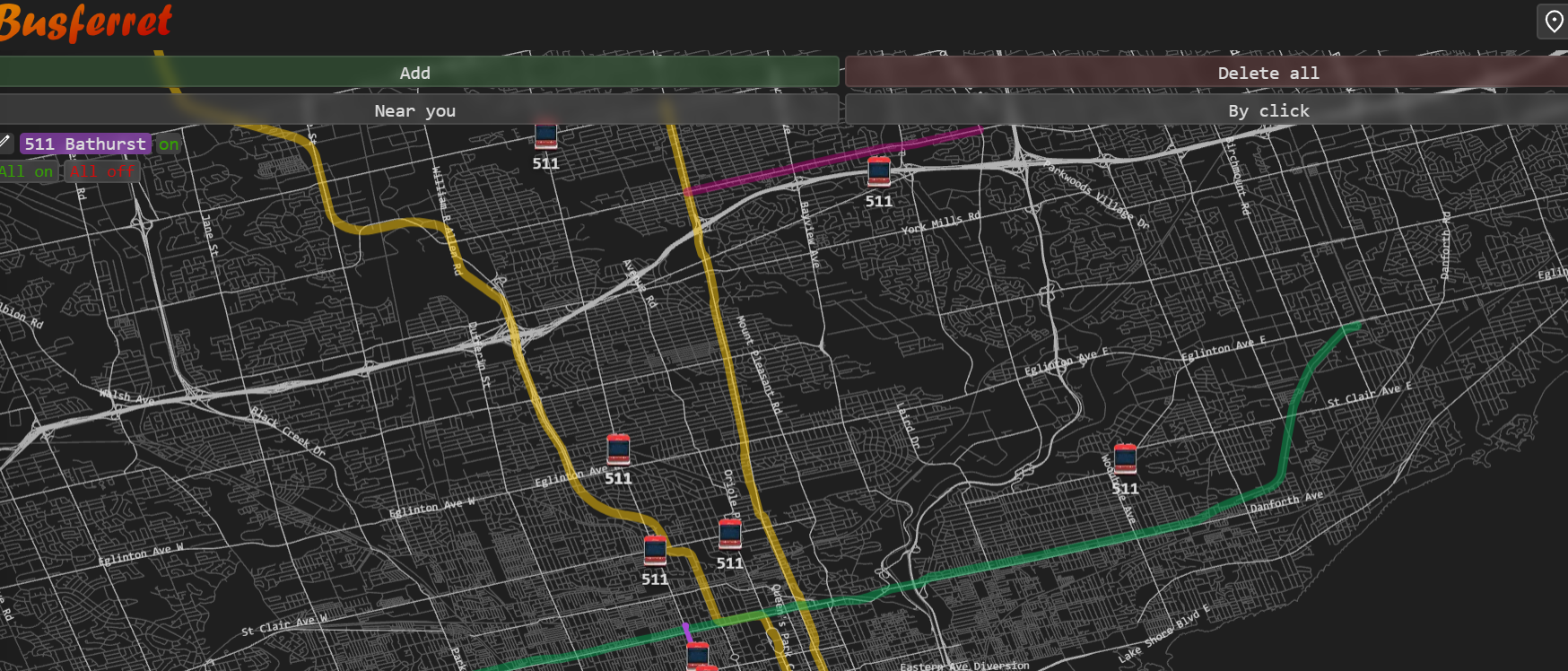
Busferret is a data-efficient, intuitive tracking tool that provides real-time TTC vehicle locations to help commuters with limited mobile data plans navigate inconsistent arrival estimates
By Andrew Bacchus
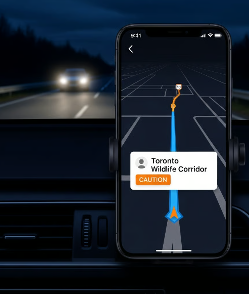
SafePassage converts static 311 wildlife report data into a dynamic API that pushes real-time "High Wildlife Activity" alerts directly to navigation apps like Google Maps and Waze.
By Patrick Colucci
Featured Project
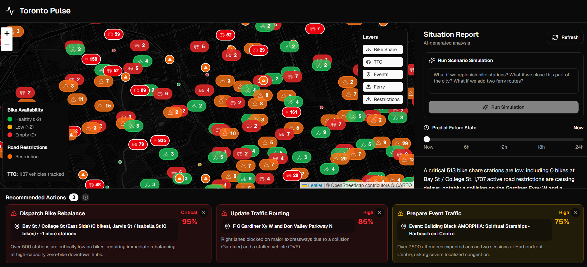
Toronto Pulse presents a model for how open data can help the city evaluate pressure points, understand cross-system impacts, and explore simple planning scenarios.
By Arushi Nath
Runner Up
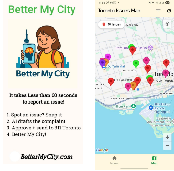
Solution Better My City is a youth-built reporting app that uses AI and mobile photography to help students easily report public infrastructure issues, and receive guidance on additional ways to get problems resolved.
By Interactive-OR Lab
Award Winner
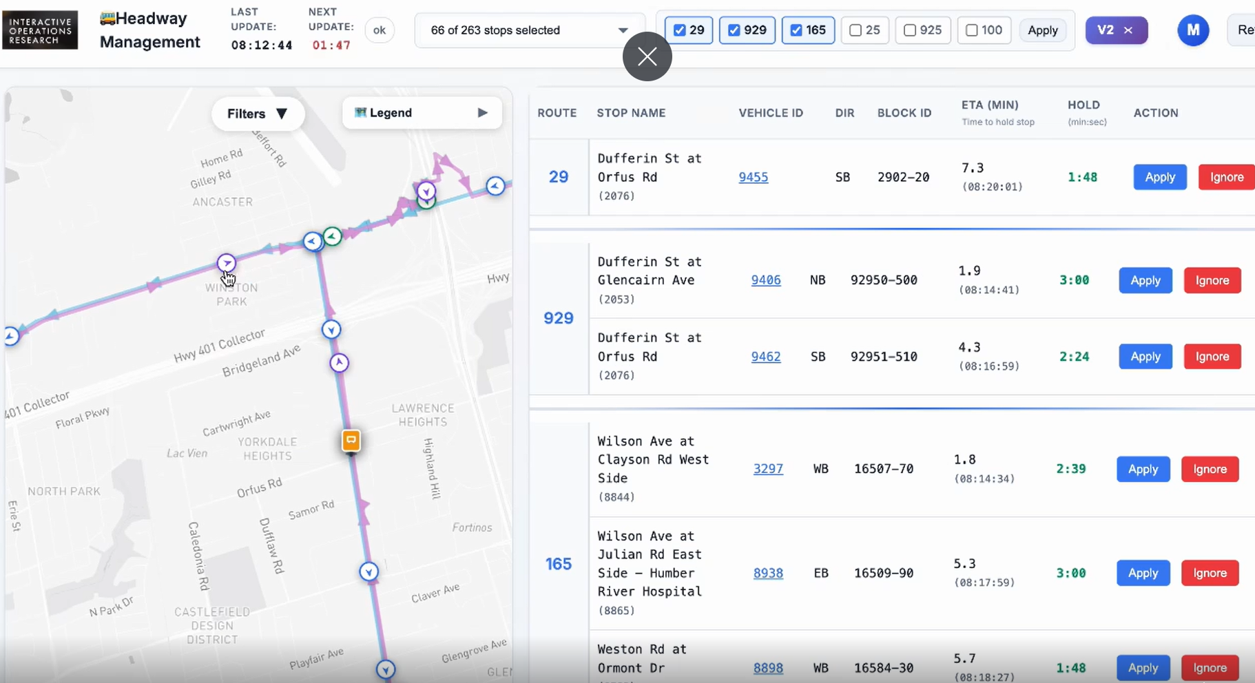
Bus Bunching Correction Pilot: In collaboration with the Toronto Transit Commission (TTC), this headway management pilot on six routes in Toronto to reduce bus bunching (when buses scheduled at even intervals arrive in quick succession) and gapping.
By Ruchir Attri
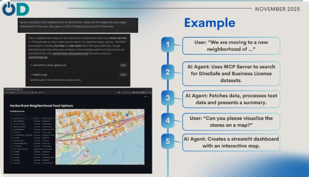
The CKAN MCP Server is a Model Context Protocol (MCP) server designed to bridge the gap between AI agents and Open Data portals, specifically the Toronto Open Data portal. It allows AI assistants to autonomously search, discover, and analyze datasets.
By Sean Power
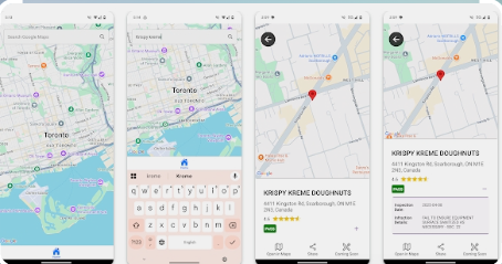
The app aims to serve a broad and diverse population by providing simple, mobile-first access to City of Toronto health inspection data, especially in moments when decisions about where to eat are being made.
By Ajay Matharoo
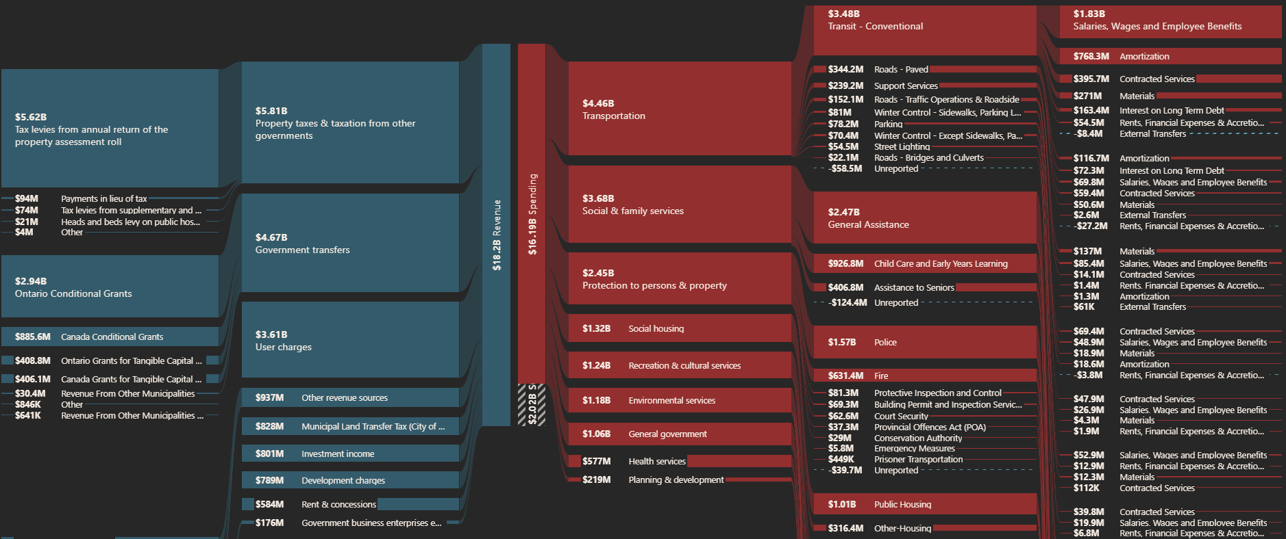
Canada Spends is a platform to make government spending more transparent. We take raw data and transform it into easy to understand facts for Canadians.