
Modeling Spatial Accessibility to Parks
by Rajesh Dulal
Independent Developer
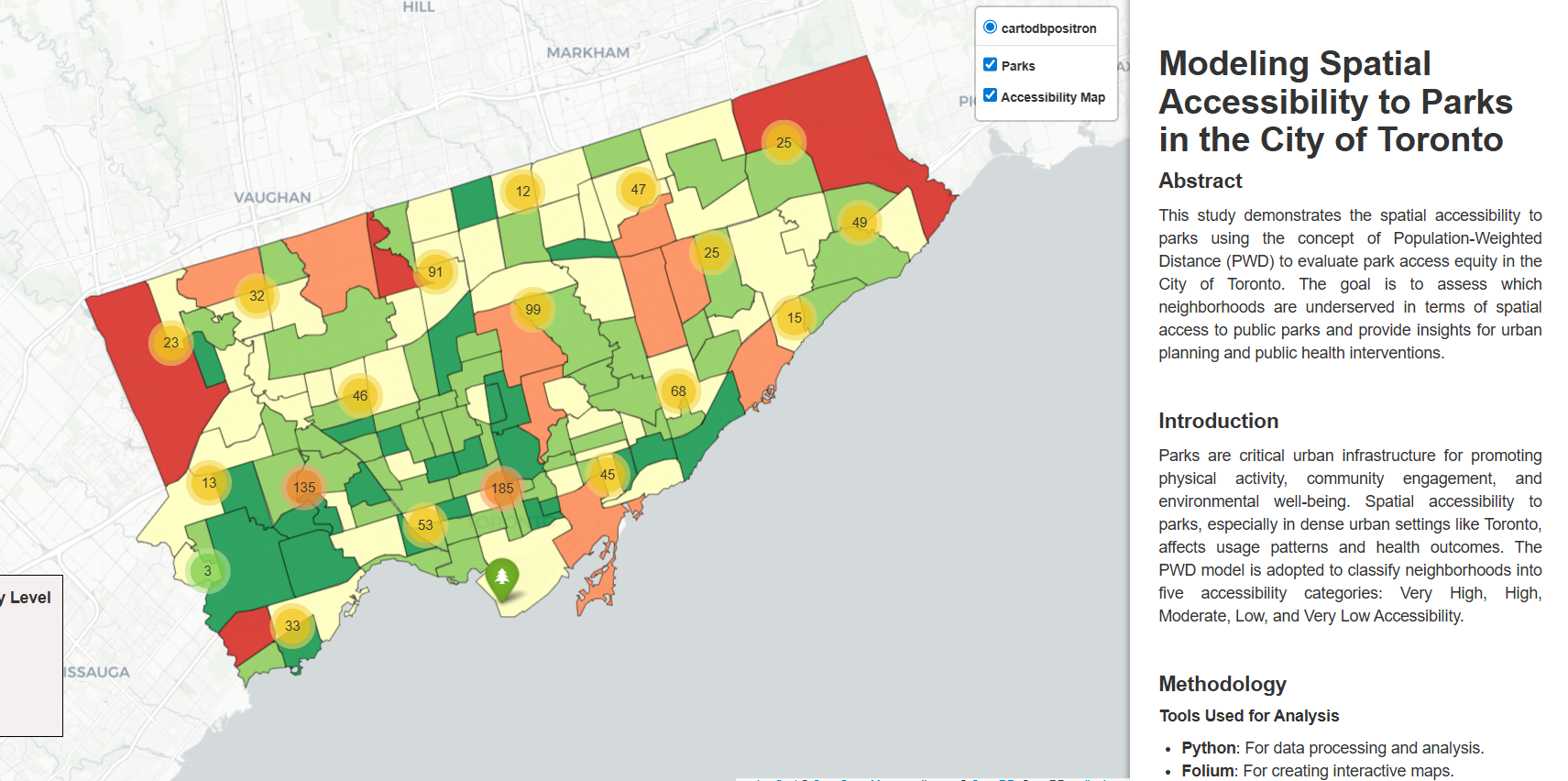
This project uses a population-weighted distance model to move beyond simple park counts, providing a more accurate map of how accessible green spaces truly are to Toronto residents at the neighborhood level.
Modeling Spatial Accessibility to Parks uses data from two external sources (Google Drive) that were created for the project:
Neighbourhood (Old) – Local from School project
https://drive.google.com/file/d/126E4Uf_ZJEH0tDPdBSa2v7sIUEnXWTF4/view?usp=sharing
Demographics (Excel) – Local from School project
https://drive.google.com/file/d/1BuOo5zJNoqfgLMSlCGXnjP-vktbjkY8g/view?usp=sharing