
near & here.
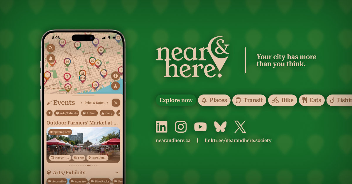
near & here. is one free map for Toronto: more than a thousand events at a time, thousands of places with photos and street view, restaurants and bars with the City's food-safety inspection, live TTC arrivals, and directions.
near & here. began with a job interview. Vladislav Grigorev interviewed for a technical implementation role centred on working with data, didn’t get it, and came away wanting to go further into that work than any job would have taken him. The city gave him somewhere to go: Toronto and the Province of Ontario publish an enormous amount of open data — transit feeds, park inventories, event calendars, food-safety inspections — but it sits scattered across dozens of portals, apps, and PDFs. near & here. pulls it into one place, onto one map, kept current by a fully automated data pipeline.
The app covers eight areas — places, events, food and drink, transit, cycling, driving, fishing, and neighbourhoods — and adds walking, cycling, transit, and driving directions with turn-by-turn navigation. The routing is the part that sets it apart: rather than one line from A to B, it plans the trip around the mode you’ve chosen (see Directions that adapt to the mode). Everything is free: no account to create, no advertising, and no analytics beyond an optional, anonymous measure of which features get used.
near & here. society operates the app as a public service. Its servers run in Toronto; the app uses no Google Maps or Places APIs and embeds no third-party tracking or advertising code. The society is a federally incorporated Canadian non-profit and takes no revenue from the app — a condition that several of the data licences it relies on depend on.