
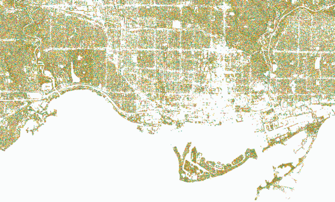
Map of ~1.25 million trees across Toronto
by Jeff Allen, School of Cities, University of Toronto
Academia
A data-dense visualization of all the trees in Toronto to allow people to easily view and compare spatial distribution of tree cover across different scales